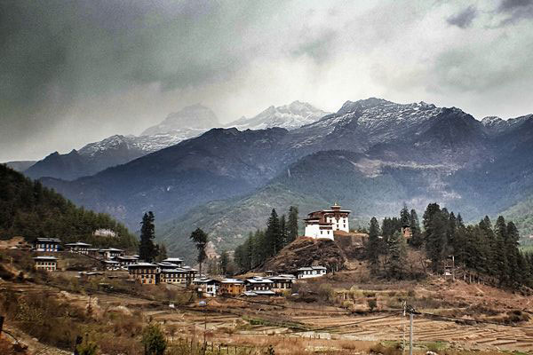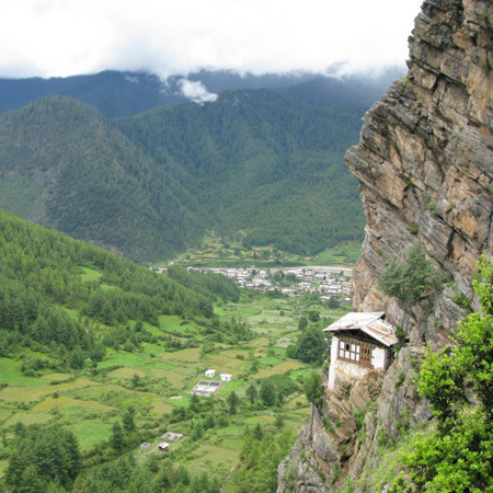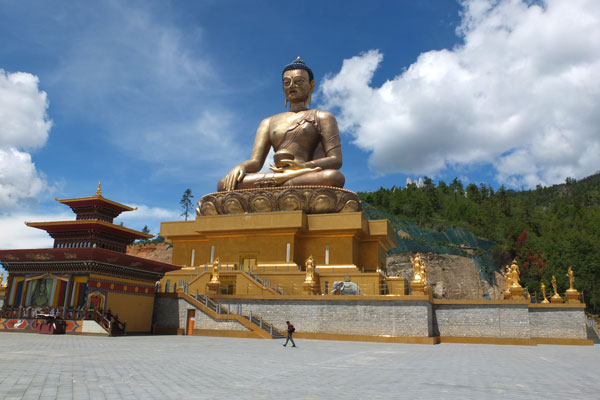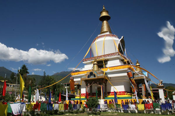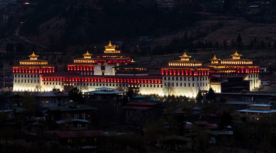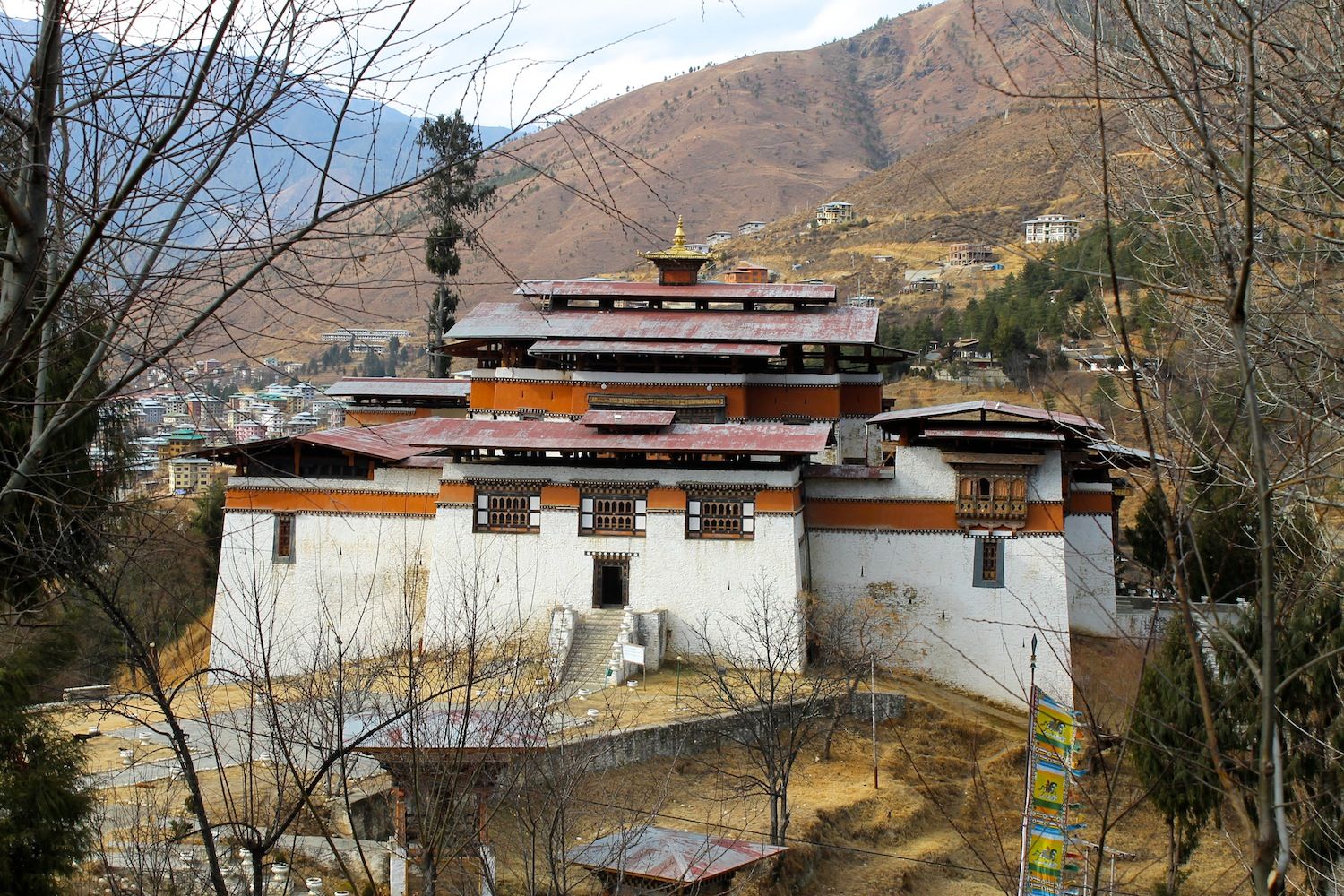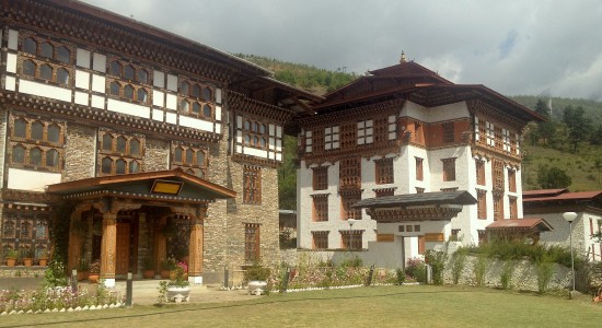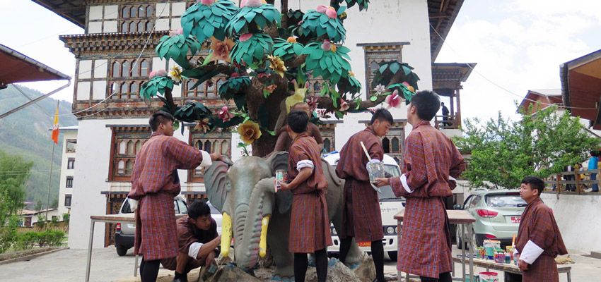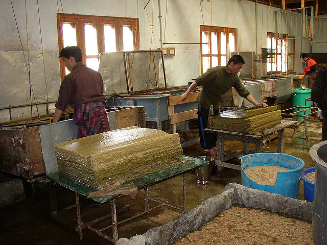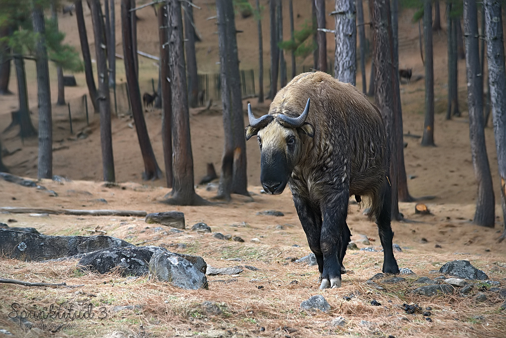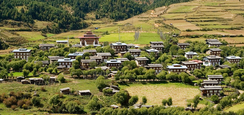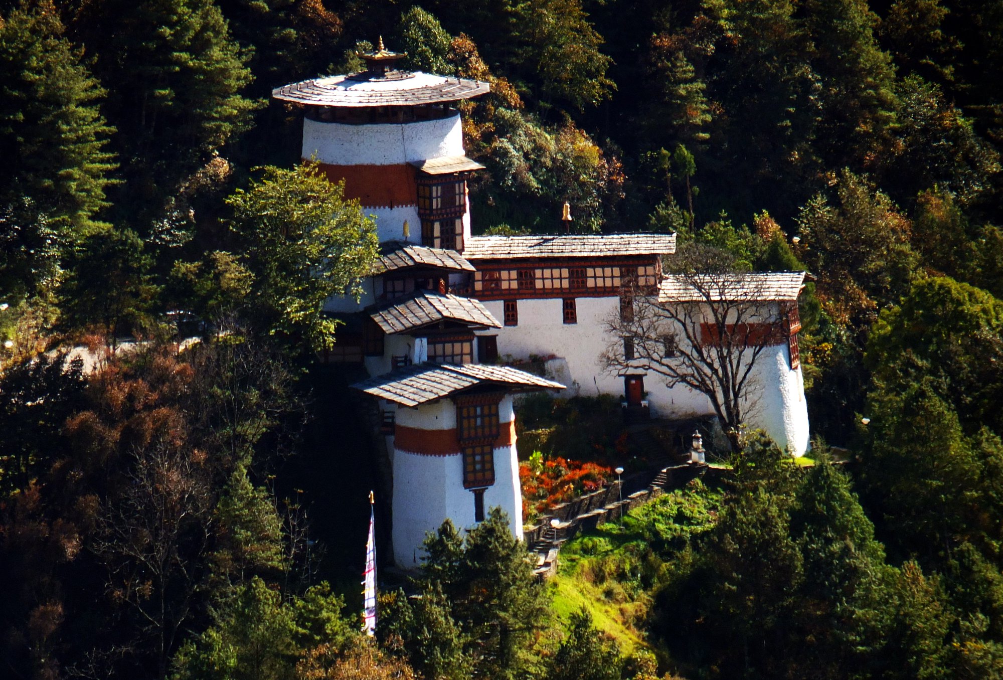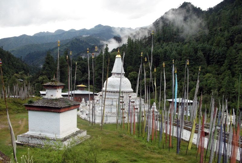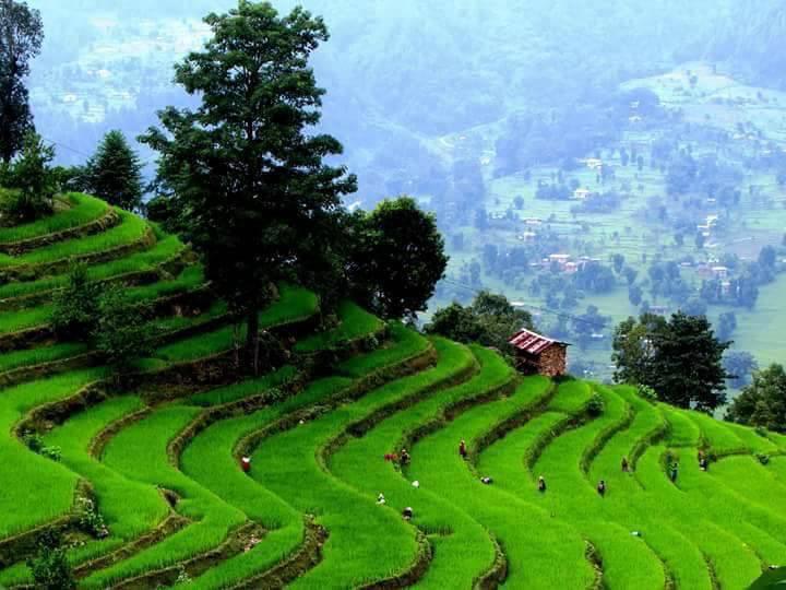
Bhutan was never known until 1960’s when the first motor able road was constructed. Yet Bhutan remains mystery in the world’s eyes and came to worldwide later in 1971 when Bhutan became the member of United Nation. Introduction of Tourism in 1974 was another better platform to present Bhutan’s identity as a small Himalayan country. Its simplicity and uniqueness captured the worldwide attention becoming one of the exclusive destinations in the world. Well preserved, culture and tradition and passing on to the younger generation concept make the place even more special. In another words, Bhutan is known for its nature exquisiteness and also for its evergreen vegetations throughout the country. Believe it or not! Bhutan is in every way a safest tourist’s destination and ensures you your holidays beyond expectation. It is a country with full of scenic countryside. Photographers and nature enthusiasts will undoubtedly have more options on the day menu as you move further into the heart of Bhutan. There are twenty dzongkhag and every dzongkhag has its own specialty and have more in the tourist attraction lists such as Sacred Nye’s, monastery’s, Culture, Architecture (Dzongs), peoples, food, wildlife and other activities which help you cherish your vacation to the fullest. Some of the most visited place by the tourists till date is as follows;
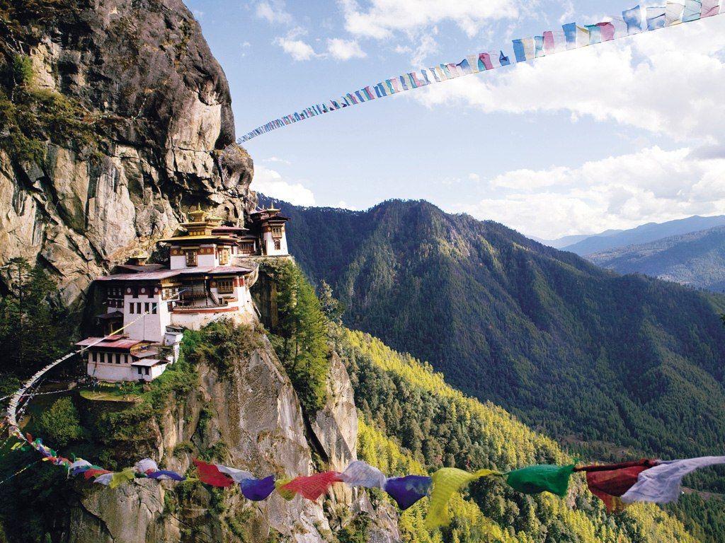
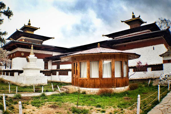
- Paro
- Haa
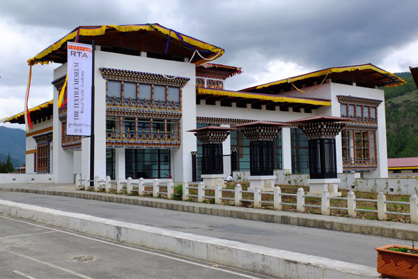
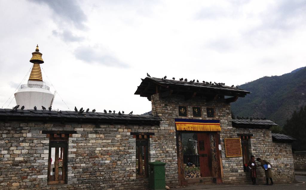
- Thimphu
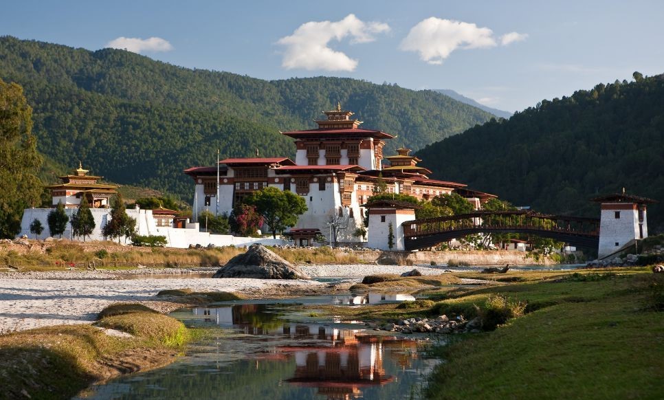
- Punakha
- Wangduephodrang
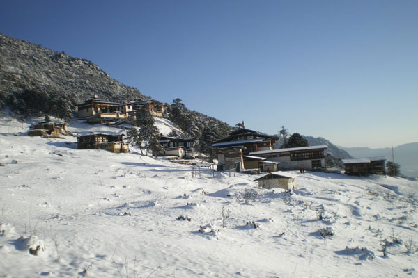
- Bumthang
- Trongsa
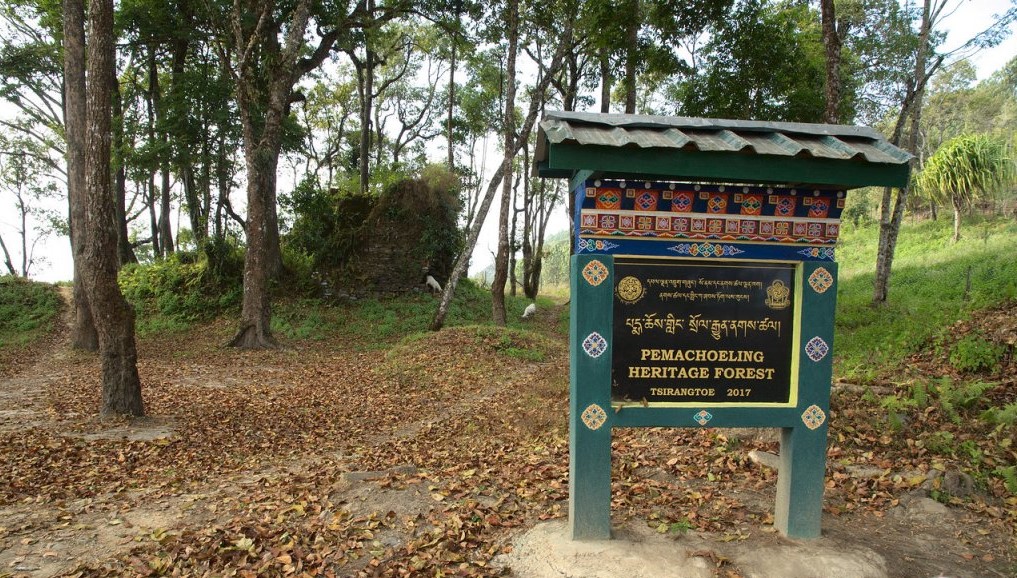
- Tsirang