Tourist Attraction

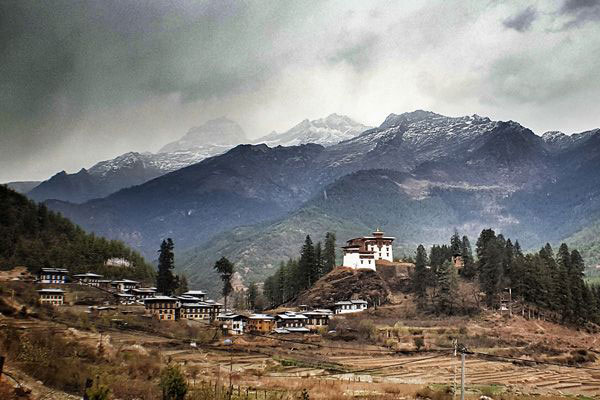
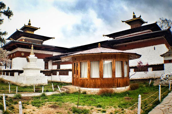
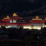
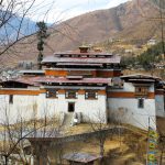
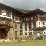
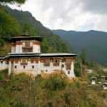
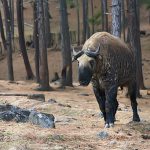
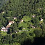
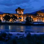
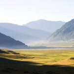
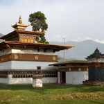
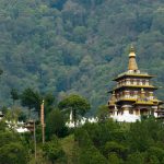
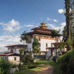
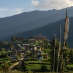
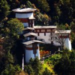
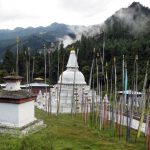
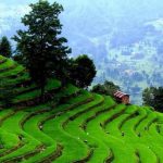
Bhutan was never known until 1960’s when the first motor able road was constructed. Yet Bhutan remains mystery in the world’s eyes and came to worldwide later in 1971 when Bhutan became the member of United Nation. Introduction of Tourism in 1974 was another better platform to present Bhutan’s identity as a small Himalayan country. Its simplicity and uniqueness captured the worldwide attention becoming one of the exclusive destinations in the world. Well preserved, culture and tradition and passing on to the younger generation concept make the place even more special. In another words, Bhutan is known for its nature exquisiteness and also for its evergreen vegetations throughout the country. Believe it or not! Bhutan is in every way a safest tourist’s destination and ensures you your holidays beyond expectation. It is a country with full of scenic countryside. Photographers and nature enthusiasts will undoubtedly have more options on the day menu as you move further into the heart of Bhutan. There are twenty dzongkhag and every dzongkhag has its own specialty and have more in the tourist attraction lists such as Sacred Nye’s, monastery’s, Culture, Architecture (Dzongs), peoples, food, wildlife and other activities which help you cherish your vacation to the fullest. Some of the most visited place by the tourists till date is as follows;

  • Paro
  • Haa
  • Thimphu
  • Punakha
  • Wangduephodrang
  • Bumthang
  • Trongsa
  • Tsirang
Paro

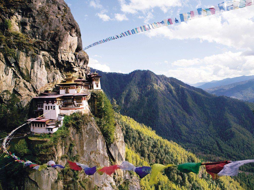
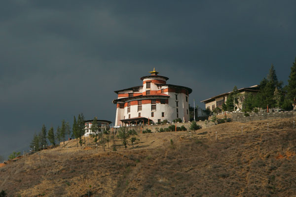
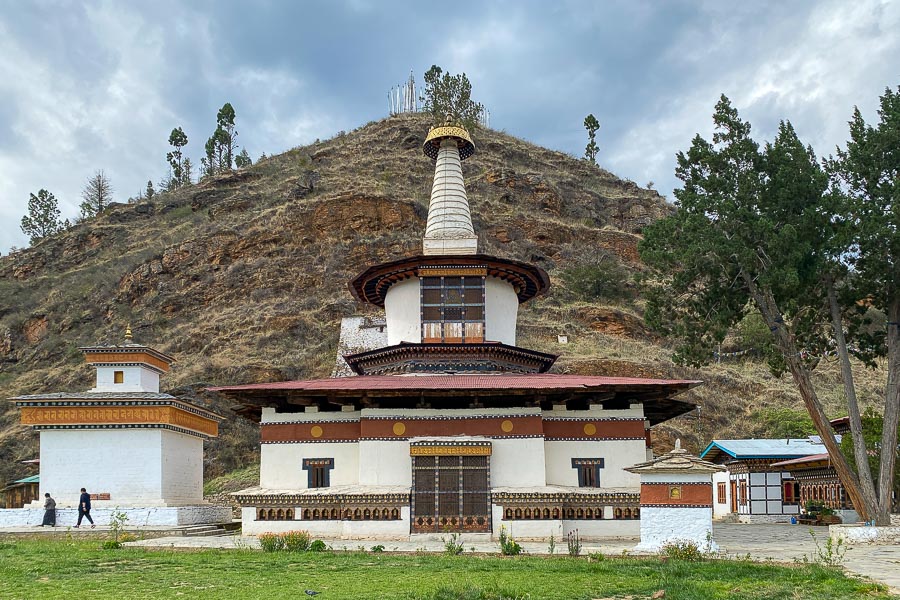
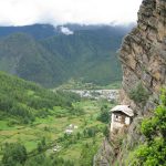
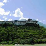
Paro is one of most beautiful place in Bhutan with its lush valleys, meandering river and the surrounding mountains. It is home to many of Bhutan oldest monasteries and temples. It is situated in the north-western part of the country at an altitude of 2,250m above the sea level. It covers a total area of 1258.5 Sq. km. The temperature ranges from 26 to 14 degree Celsius in summer and 14 to -5 during winter. To the north of Paro stand the Mount Jhomolhari and its five sister peaks. The only international airport of Bhutan is also located in Paro.

Place of Interest

Haa

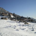
Located in South West of Paro and covering an area of roughly 1706 sq. km, Haa is one of the smallest Dzongkhag in the country. This tiny region is one of the most beautiful and isolated areas in the kingdom, adorned with pristine alpine forests and tranquil mountain peaks. Haa is the ancestral home of the Queen Grandmother and the illustrious Dorji family. This valley remains one of the least visited areas in the country and retains the air of an unspoiled, primeval forest. The wooded hills of Haa provides an ideal location for hiking and mountain biking. Biking around the valley to visit the dozen or so local temples is an enjoyable way to spend the day when visiting. Haa is home to a number of nomadic herders and hosts an annual Summer Festival that showcases their unique lifestyle and culture. The festival is an ideal occasion to immerse yourself into the traditions and unchanged lifestyles of nomadic Bhutanese herders, as well as to sample some delectable Haapi cuisine. Haa's major feature is the Haa Valley, a steep north-south valley with a narrow floor. The name Haa, connotes esoteric hiddenness. An alternative name for the district is "Hidden-Land Rice Valley."The main crops grown in the valley are rice, wheat and barley. Other cash crops such as potatoes, apples and chilli's are also grown by farmers on the valley floor, along terraced hillsides and in some of the more accessible side valleys. The region comprises of the Torsa Strict Nature Reserve, one of the environmentally protected areas of Bhutan. It occupies a substantial proportion of Bji and Sangbay gewogs but there are no inhabitants in the Reserve. Torsa is connected to the Jigme Dorji National Park via a biological corridor, cutting across the northeastern half of Haa District.

Place of Interest

Thimphu

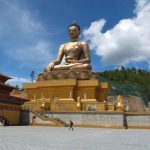
Thimphu is the capital of Bhutan with an area of 2,067sq.km and a population of 104,214 (2010), making it Bhutan’s largest city. It is, however, the only capital after Pyongyang in North Korea with no traffic lights. It lies at an elevation of 7,600 feet sprawling across the western slopes of the Wang Chuu river valley. Thimphu features a monsoon-influenced subtropical highland climate with mild summers and relatively cool winters.

Place of Interest

Punakha

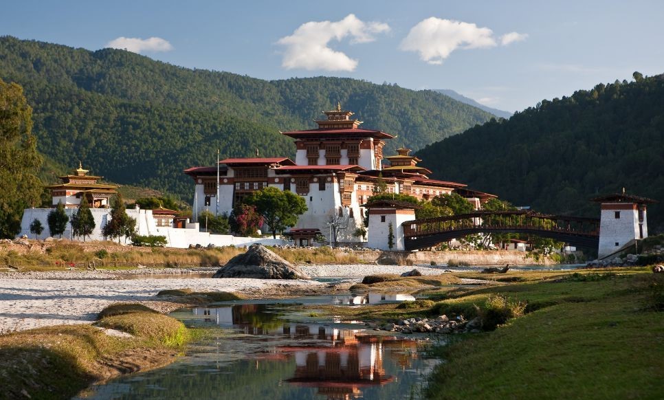
Punakha has been and is one of the pivotal places in Bhutan. Punakha was the winter capital till 1955 and the Punakha Dzong continues to be the winter residence of the Je Khenpo and the central Monk Body. Punakha Dzong is situated at the confluence of Pho chu and Mochu rivers whereby they converge as the Puna Tsangchhu. Zhabdrung Rimpoche began the construction of the Dzong in 1637, after completion was named as Pungthang Dechen Phodrang Dzong. It was from Punakha where Zhabdrung successfully resisted the numerous Tibetan invasions. Major renovation of the Dzong was carried out in 1986 and 2003. The temperature varies between 35 degree Celsius during summers to - 4 degree Celsius during winters. The altitude ranges from 1200 metres to 4800 metres and is one of the most fertile valleys in Bhutan. The main town of Punakha is situated at Khuruthang which is about 4 Km away from the Dzong.

Place of Interest

Wangduephodrang

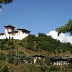
Towards the south of Punakha valley lays the valley of Wangduephodrang or Wangdue. It falls in Western Bhutan and is bordered by Punakha in the north, Thimphu in the west, Trongsa in the east and Tsirang in the south. Wangduephodrang is about 4308 square kms with an elevation ranging from 800 to 5800 meters above sea level. The summers are moderately hot with cool winters. The areas in the north remain under snow during the winter. Wangduephodrang is the second largest district in Bhutan. It is one of the windiest place in Bhutan. At the confluence of Mochu and Tangchu rivers stands the impressive Wangduephodrang Dzong. The dzong acts as the center of administration and houses other offices. The once bustling town of Wangduephodrang has now been relocated to Bajo.
Place of Interest

Bumthang

Bumthang Dzongkhag (2800m) Bumthang is often referred to as the Switzerland of Bhutan taking into account the beautiful scenic beauty if offers. It is a place rich in history and has highest number of monasteries in the country which were built in homage to Guru Rimpoche. It is located in the Northern part of the country bordered by Lhuentse in the East, Trongsa and Wangdue Phodrang to the West, Zhemgang to the South and the Tibet Autonomous region of China to the North. It has an approximate area of 2708.46 sq.km with an elevations ranging from 2400 to 6000m above sea level. Approximately 59.3% of its total land area is under forest cover. The total population was estimated at 16116 in 2005 out of which 11913 live in the rural area. It experiences cold climatic conditions with warm summer and cold winters.

Place of Interest

Trongsa

Midway between Haa in the far west and Trashigang in the Far East stands the striking Trongsa Dzong, the ancestral home of Bhutan’s Royal Family. Both the first and second kings of Bhutan ruled the country form this ancient seat. The Crown Prince of Bhutan traditionally becomes Penlop or Governor of Trongsa before being crowned King. All five kings of Bhutan held post of Trongsa Penlop prior to being crowned the king. Trongsa meaning ‘the new village’ housed only a temple until 17th century. The place gained prominence after a Dzong was built by Zhabdrung Ngawang Namgyel. Trongsa Dzong was built in 1648 and is a massive structure with many levels that slopes down the contour of the hill. Because of its highly strategic position on the only connecting route between the eastern and western sectors (the trail actually running through the Dzong), the Trongsa Penlop was able to control the whole of the eastern region effectively for many centuries.

Place of Interest

Tsirang
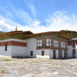
Bhutan was never known until 1960’s when the first motor able road was constructed. Yet Bhutan remains mystery in the world’s eyes and came to worldwide later in 1971 when Bhutan became the member of United Nation. Introduction of Tourism in 1974 was another better platform to present Bhutan’s identity as a small Himalayan country. Its simplicity and uniqueness captured the worldwide Tsirang is noted for its gentle slopes and mild climates. The dzongkhag is also noted for its rich biodiversity, however, it is one of the few dzongkhags without a protected area. One of Bhutan's longest rivers, the Punatsang Chhu or Sankosh river flows through the district. It is the main district where the Lhotshampas (Nepali-speaking Bhutanese) reside. The dominant language in Tsirang is Nepali, spoken by the heterogeneous Lhotshampa. In the north of Tsirang, Dzongkha is also spoken. Damphu is the administrative headquarters and capital of Tsirang District. It is located on the north-south highway running from Wangdue Phodrang to Sarpang and Gelephu on the border with India. It is also where the Tsirang Dzong is located. The route from Wangdue Phodrang to Tsirang is quite scenic; one will see one of the largest hydro power projects in the country being constructed. The project is powered by the Puna Tsang Chhu, the river that flows from Punakha.
Place of Interest

Address

Bhutan Tigris Tours & Treks
Twins Building, Babesa Express Highway, Thimphu, Bhutan

Location